
How to find us
Google Maps
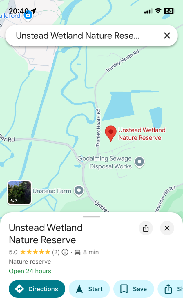
We are now registered on Google Maps as Unstead Wetland Nature Reserve so you can simply search for that on the Google Maps app and hit Directions.
Ordnance Survey
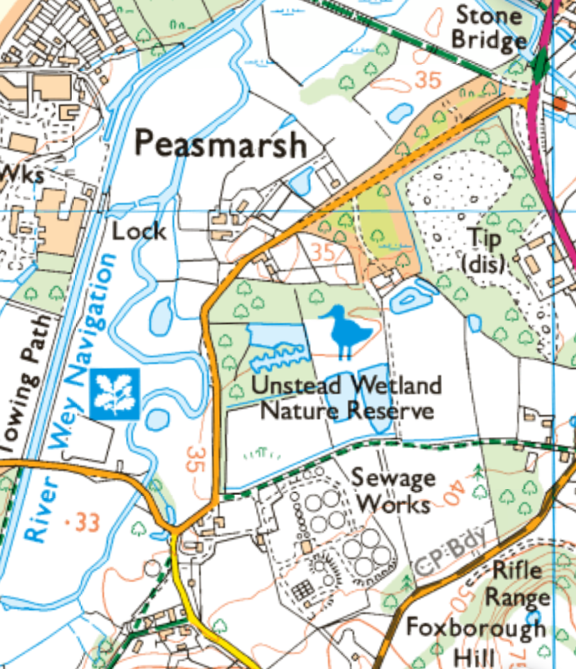
Unstead Wetland Nature Reserve is recognised by Ordnance Survey and can be found on the latest version of their maps or on the web or App versions.
What 3 Words
If you use “What 3 Words” then cones.woof.taking should get you to the parking spot.
Map and Compass
If you prefer more traditional directions, follow the A281 south from Shalford and turn onto Trunley Heath Road, then left at the Thames Water sign.
On the A3100 north from Godalming turn onto Tilthams Corner Road over the narrow bridge then left onto Trunley Heath Road and almost immediately right at the Thames Water sign.

Site access and parking
Public access to the reserve is via the Public footpath adjacent to the Sewage treatment works or along the footpath that runs parallel to Trunley Heath Rd which leads to the bird viewing hide and North Meadow areas.
Both are indicated by blue lines on the aerial image.
Parking is very limited so can we ask visitors to park sensibly in the area marked “P” on the aerial image and to not block the entrance to the works or the gated entrance to the Public Footpath.
